
Aerial photo · video · documentation
The view from 400 feet that sells the listing and settles the claim.
Sepela Aerial flies real estate shoots and property-damage documentation across southern Chester County, northern Delaware and the Lake Wallenpaupack region — delivered fast, edited clean, ready to use.
- Base
- Landenberg, PA 19350
- Coordinates
- 39.78° N · 75.77° W
- Ceiling
- 400 ft AGL (Part 107)
- Controlled airspace
- LAANC authorization
- Territories
- Tri-state · Poconos
- Turnaround
- Photos in 24–48 hrs
What we fly
Two services, done properly
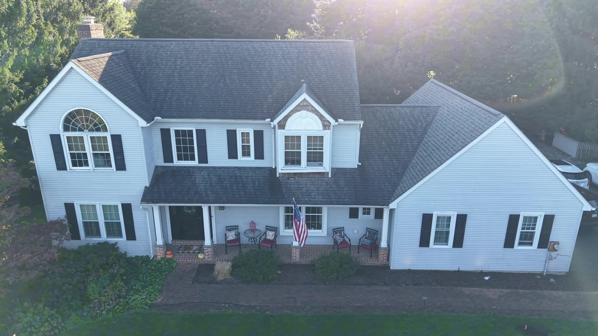
Real estate aerial photo & video
Listing photos, lot-line context, twilight exteriors and short flyover video for MLS and social.
Available nowInsurance & property-damage documentation
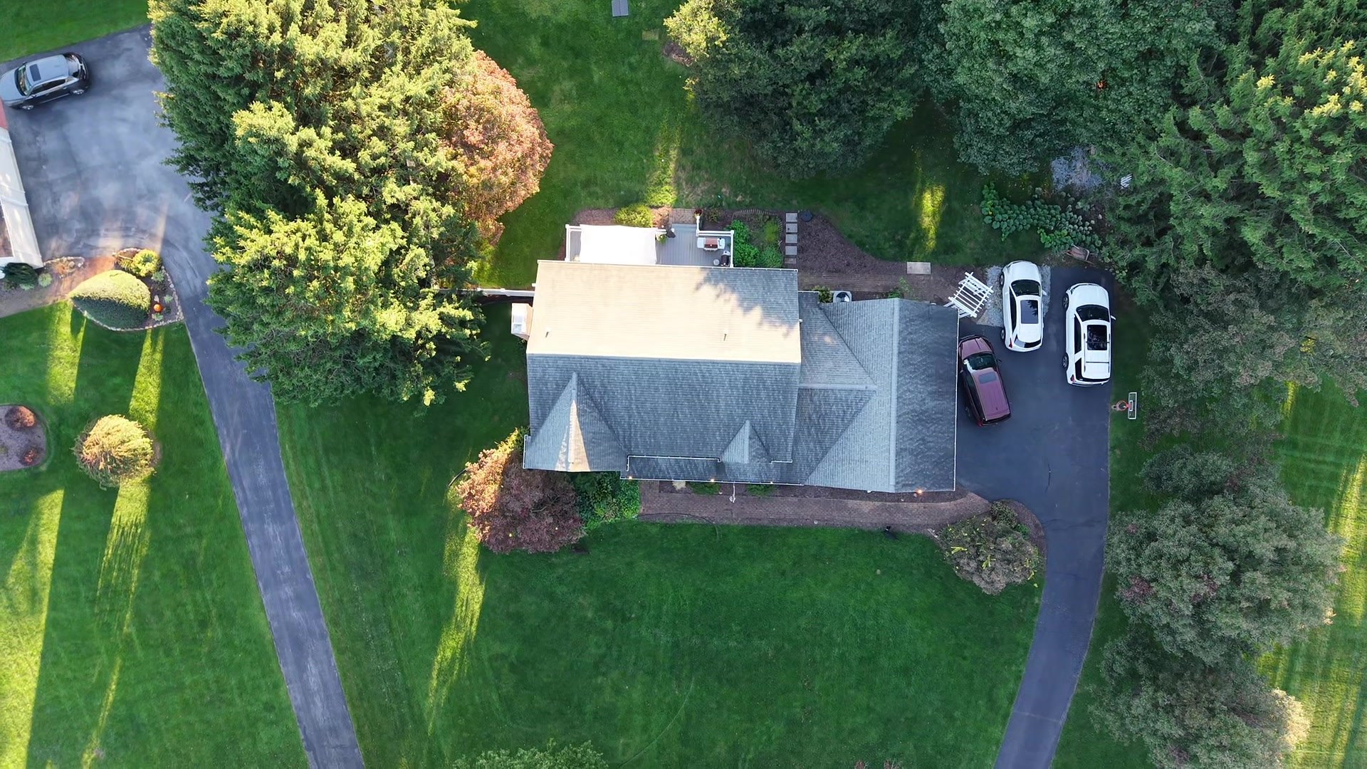
Roof and exterior condition captures for adjusters and homeowners — no ladder, no roof walk.
More services as the fleet grows
Construction progress and agricultural overview photography are next. Mapping and thermal work will be added only once the right equipment and software are in place.
Recent work
Portfolio
Real estate, roof inspection and landscape imagery from recent flights. New work is added as jobs are completed.

Got a property to fly?
Send the address and what you need. Quote back within one business day.