Services
What Sepela Aerial flies
Two services are live today. Everything else is listed as coming soon — we only sell what we can deliver right now.
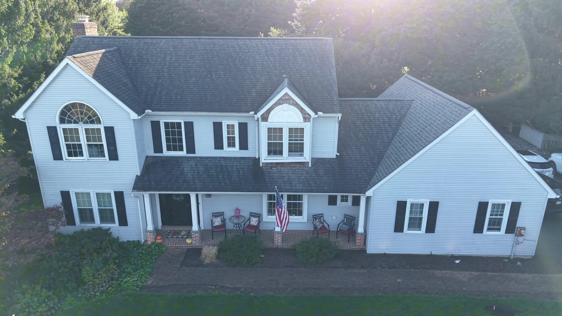
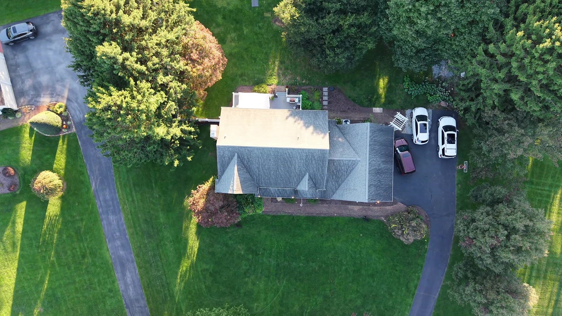
Real estate aerial photo & video
Available now
Aerial images that show what ground photos can't: the lot, the setting, the drive in, the pond out back, the distance to town.
- 10–15 edited aerial stills in the Standard package (20–25 in Plus), MLS-sized and full-res
- 90-second aerial video available as an add-on, social-ready cut included
- Wide landscape and acreage views for farm and rural listings
- Property-line or feature callouts on request
- Twilight exteriors (weather permitting)
For: listing agents, builders, land and farm sellers, short-term rental owners.
Request this service →
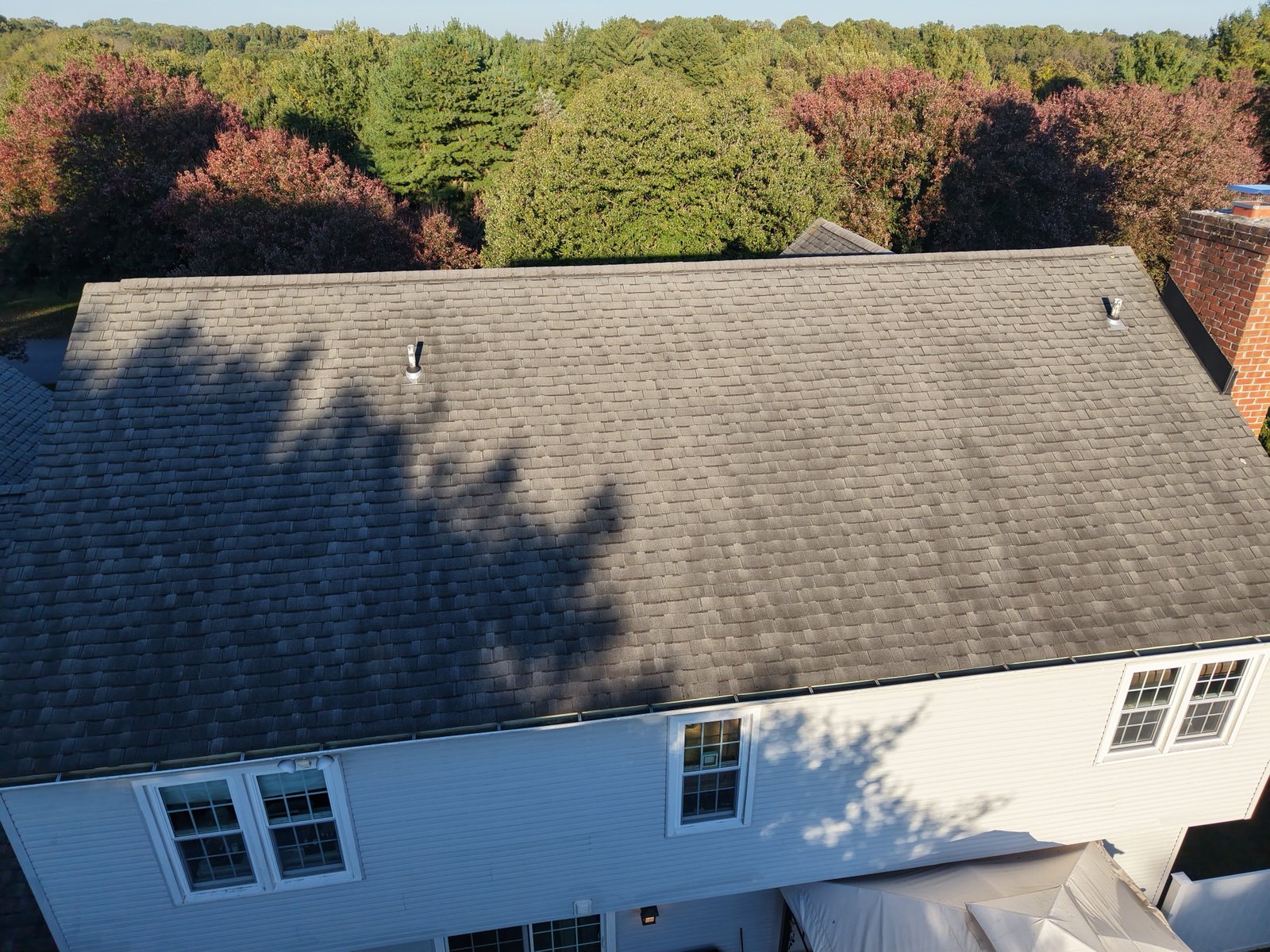
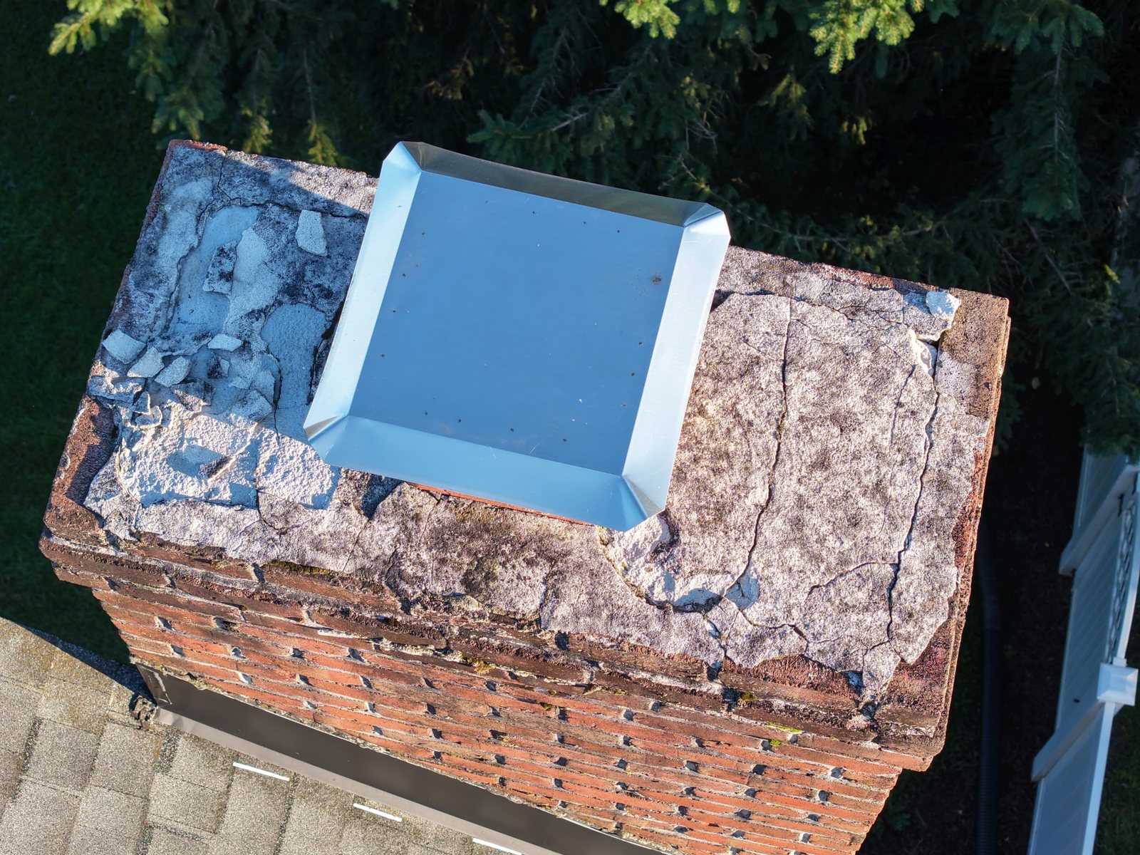
Insurance & property-damage documentation
Available now
Clear, organized imagery of roofs, siding, gutters and outbuildings after storms or for underwriting — captured without anyone climbing a ladder.
- Systematic roof-slope and elevation coverage
- Close detail shots of visible damage
- Photos labeled by elevation and delivered in a shareable folder
- Claim or reference number carried through the file names
For: independent and staff adjusters, public adjusters, roofers, property managers, homeowners.
Request this service →
On the roadmap
Construction progressScheduled site photo and video captures
Agricultural overviewsField and crop overview photography
Mapping & photogrammetryPlanned, pending software and workflow
Thermal imagingPlanned, needs a thermal-capable aircraft
Not offered today: land or boundary surveying, measurement-grade mapping and volume measurement. Sepela Aerial provides aerial photo and video documentation, not licensed survey work.
Need one of these now? Send a custom request — we'll tell you honestly whether we can do it yet.